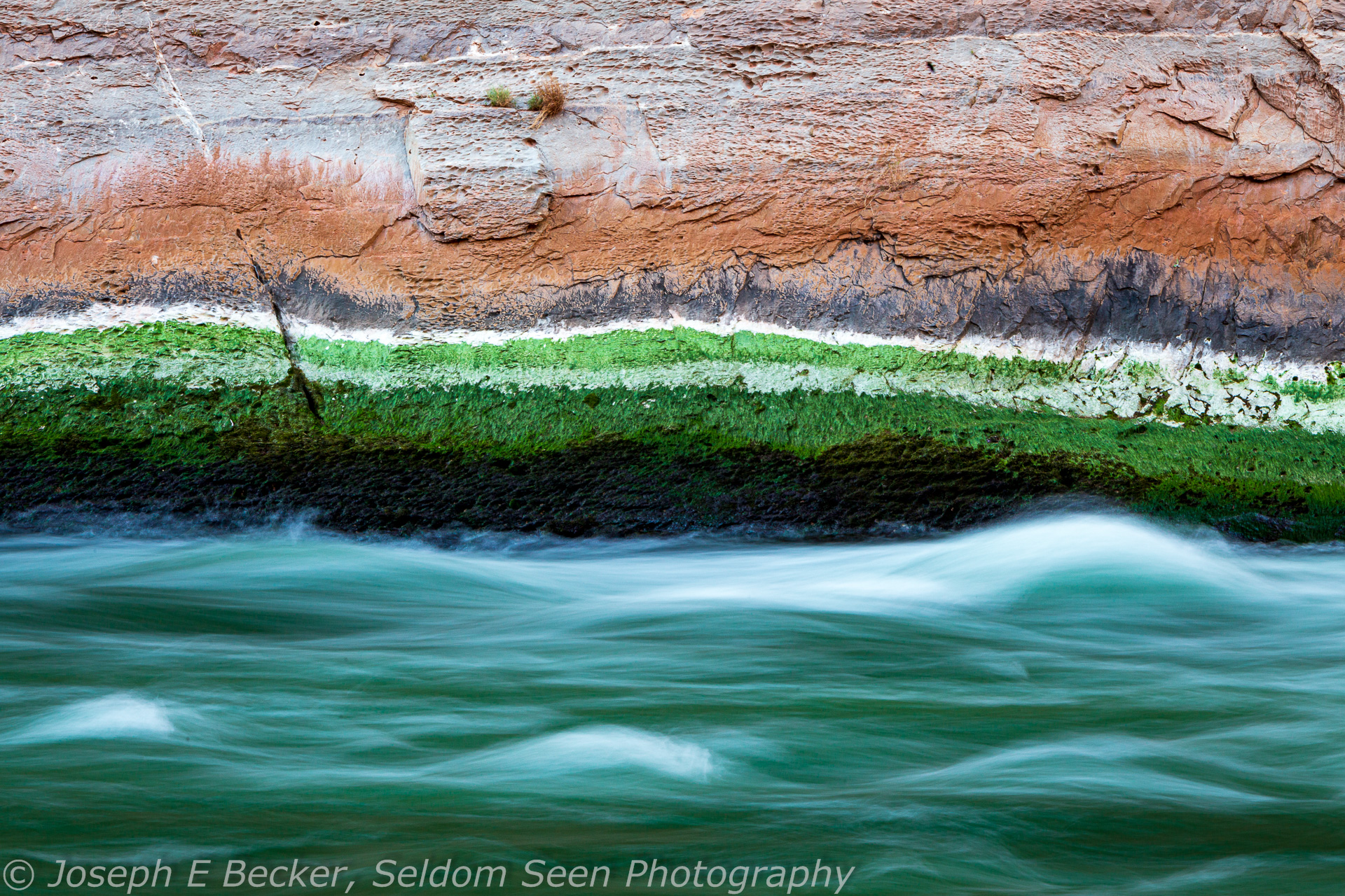

Unless you hike in at Phantom Ranch, your raft trip through the Grand Canyon will start at Lee’s Ferry. At Lee’s Ferry, the Colorado River runs green and cold, as the water is freshly released from Glen Canyon Dam several miles upstream. The color often seems impossibly green, especially when shooting with a polarizing filter. Just south of Lee’s Ferry, the Paria River flows into the Colorado River, typically adding brown silty water to the Colorado; however, not enough to change to green color. Shortly thereafter, the walls of Marble Canyon rise up around the river.


Marble Canyon, though not nearly as deep as the Grand Canyon, is wonderful to photograph. The sedimentary rocks that form the canyon walls, often make spectacular, colorful cliffs which plunge straight down into the river – particularly the Redwall Limestone. The resultant photographic experience is quite different than in the Grand Canyon proper, which cuts through older granitic and metamorphic rocks, leaving the sedimentary formations high up on the sides of the canyon, often not visible from the river.

As you leave Lee’s Ferry and the Paria River behind, Marble Canyon gradually deepens as the river winds south and west, cutting downward through the Paleozoic sedimentary rocks that are found at the top of the Grand Canyon proper. Several miles south of Lee’s Ferry, the canyon is already several hundred feet deep, with sheer vertical cliff walls. Here is the Navajo Bridges (the original highway bridge and the neighboring foot bridge added much later). It’s fun to shoot from the day before your trip begins then again looking up at the bridges on the first day of the trip. The spot is also popular with Californian condors. These huge birds are probably more easily photographed from the bridges than from your raft. You will likely see other condors on occasion throughout the length of Marble Canyon.
A couple miles downstream from the bridges you will encounter the first rapid of the trip at Badger Creek. While not a small rapid, Badger Creek Rapid, along with the other rapids in Marble Canyon, is rather tame compared to the big drops in the Grand Canyon proper. Depending on flow levels and the experience of you boatmen/guides, your trip may not stop to scout any rapids within Marble Canyon, so most of your photography in Marble Canyon will be of scenery rather than whitewater action unless you bring a waterproof camera. That said, my recent trip did stop to scout Mile 24 Rapid because it is unusually difficult at low water levels (and indeed it was, the raft I was on flipped and two of our other boats dump-trucked their passengers and boatmen).
While you may not shoot much white-water action in Marble Canyon, you can create some wonderful shots of rapids should your trip camp next to any (and most campsites both in Marble and Grand Canyons are adjacent to rapids). By camping near rapids, you can shoot the canyon with the rapids in the foreground during the golden hours, using long exposures to make the white water smooth and silky.


Much of the scenery in the Grand Canyon occurs in side canyons to the Colorado. Many trips stop to hike in several of these side canyons. Cathedral Wash, located at river mile 3, upstream of the Navajo Bridges, is quite pretty and can be hiked either up from the river or down from the road into Lee’s Ferry. The next canyon downstream worthy of a photographic stop is North Canyon, at about river mile 20.5. We didn’t stop there on my recent trip, but did so on one of my earlier trips back in the late 1980s.
About 30 river miles are so below Lee’s Ferry is Vasey’s Paradise, a gushing spring shooting from the red rock above the river, with ferns and other green covering the slopes below the spring. This is often mentioned as a good photographic location. However, on my recent visit, the spring was trickling rather than gushing, and much of the vegetation was brown and dead. Consequently, it was not very photogenic. I suspect the decades long drought on the Colorado Plateau has contributed to the decrease in spring flow such that now is it a shadow of its former self. If you do stop here, beware of poison ivy.

But drought cannot harm another highlight of Marble Canyon: Redwall Cavern. Not really a cave, Redwall Cavern is an huge, deep alcove at river level carved out of the Redwall Limestone. In his exploration of the canyon, Major John Wesley Powell described Redwall Cavern as being able to sit 50,000 people. That might be an exaggeration, but it could easily fit several thousand. The floor of the cavern is deep, soft sand. Reflected light off the canyon wall lights the inside of the alcove with a warm red glow. To get the entire mouth of the cavern in a single shot requires an ultra-wide-angle lens. Alternatively, you can stitch several images together to form a panorama covering the entire cavern. To have detail both inside and outside the cavern, consider using HDR. Also consider shooting silhouette shots of people to give a sense of scale. Good shots can be made most anytime of day, but are probably best in the morning when the sun lights up the opposing canyon wall.


Past Redwall Cavern, there is a natural bridge, the Bridge of Sighs, on river right at about river mile 36. It’s not most photogenic arch you’ll ever see, but if you want to catch a shot of it, be prepared as it is only visible along a short section of river and you’ll likely be shooting from the boat rather than stopping.

Near river mile 41.5, you will pass the very scenic Royal Arches. These large alcoves are easily photographed from your raft as you float by. At mile 43.3, you can see the remains of Anasazi Bridge, a wooden structure build by the Ancestral Puebloan people to connect two cliff ledges, high above the river on the right. It is quite distance from the river, and without a long telephoto lens, difficult to shoot. At river mile 47, you will pass the Triple Alcoves, and like the Royal Arches, good shots can be made from your raft.


Shortly past the Triple Alcoves is Saddle Canyon. This side canyon is definitely worth exploring with your camera. A short hike (about 1.4 miles one-way) up the canyon leads to a slot canyon and scenic waterfall. (Unfortunately, we did not stop on my recent trip. I did hike up this canyon on one of my earlier trips through the Grand Canyon, however).
At river mile 53, you reach one of the highlights and most icon shots of the entire Grand Canyon, the Nankoweap Granaries. Almost every raft trip stops here and takes the short, but steep (about 0.6 miles and 600-foot elevation gain), hike up to the granaries. With the granaries in the foreground right and the canyon in the background left, it is truly a world-class spot. A moderately wide-angle lens works well, or you can stitch together a panorama, possibly using HDR to help with the contrast. Touching or otherwise disturbing ancient structures in Grand Canyon National Park is prohibited, so please be careful not to touch or lean against the granary walls. It would be a shame if the Park Service decided to fence off this area sometime in the future due to visitors interfering with the structures. Besides shooting compositions with the granaries, try shooting the canyon by itself, the view of which, even partway up the trail, is amazing.


There are no major sights through the rest of Marble Canyon until the Marble Canyon ends and the Grand Canyon begins at the Little Colorado River at river mile 61.5. The Little Colorado River is a major tributary of the Colorado River that flows year round due to the discharge of Blue Spring at about 200 cubic feet per second. Blue Spring, which is located about 15 miles upstream on the Little Colorado from its the confluence with the Colorado River, is aptly named. The water emanating from the spring is a wonderful turquoise blue color and the color carries downstream all the way to the confluence. However, the blue waters can occasionally be overwhelmed by brown dirty water during extended rainy periods or flash flood events further upstream in the Little Colorado basin (the Little Colorado is typically dry upstream from Blue Spring). This more typically occurs in the “monsoon” season of late summer.

The high mineral content in the waters of the Little Colorado River also lead to incredibly white sand deposits along the river banks in the area near the confluence. The white sands, blue waters, red canyon walls, and dark green water of the Colorado River make the lower reach of the Little Colorado River an amazing spot to do photography.

Most commercial river trips stop at the Little Colorado River for several hours, and some private trips stop for longer periods which allow hiking up the canyon. The confluence of the Little Colorado River and the Colorado River is a sacred place for several Native peoples. It is also one of the last places the endangered humpback chub lives (a type of fish). Please respect the land and water in this area.
As mentioned, below the Little Colorado River, the Grand Canyon begins (though you’d be hard pressed to see any distinct change in the canyon walls). In my next post in the series, I’ll cover the next 75 miles of river and canyon, from the Little Colorado River to Deer Creek.
Leave a Reply